Zhangye Route 9 Scenic Drive: Navigating the Qilian Mountain 'Figure 9' Highway (2026 Guide)
Zhangye Route 9 Scenic Drive: Navigating the Qilian Mountain ‘Figure 9’ Highway
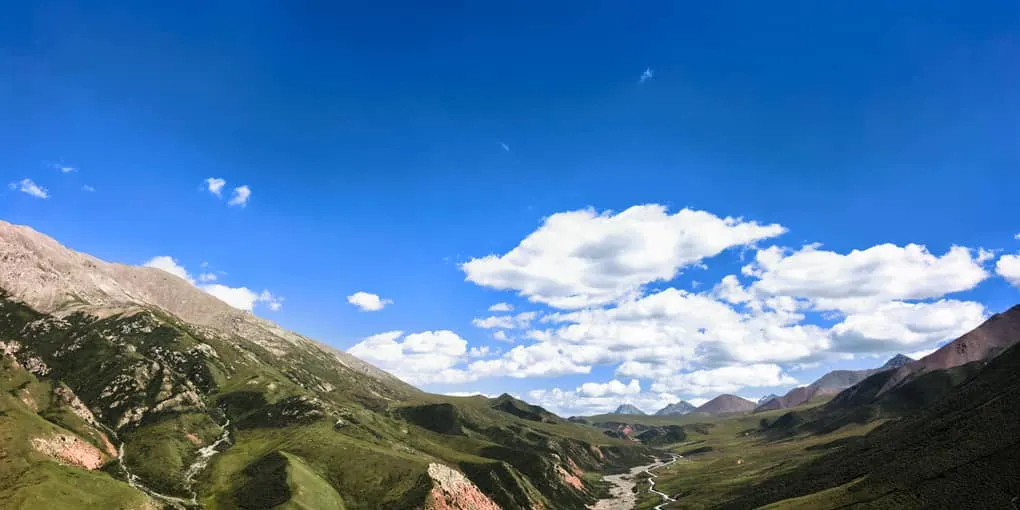
When travelers envision Zhangye, the surreal rainbow-colored mudstones of the Danxia Landform usually steal the spotlight. Yet, driving south toward the towering glaciers of the Qilian Mountains, a modern geometric marvel cuts through the high-altitude pastures: Zhangye’s “Route 9” (张掖9号公路).
Connecting the scenic gateway of Biandukou (扁都口) in Minle County to the historic border post of Erbao Town (俄堡镇) in Qinghai, this newly paved alpine road winds gracefully through mountain gorges and high-elevation meadows.
From an aerial drone perspective, the road loops back on itself in a dramatic switchback curve that forms a giant, immaculate Arabic numeral “9” etched into the emerald mountain slopes.
For road-trippers and aerial photographers linking Gansu and Qinghai, this high-altitude corridor is one of Northwest China’s best-kept secrets.
1. Why “Route 9” Went Viral
Unlike numbered national highways (such as G227), “Route 9” earned its name from travel photographers capturing the landscape from 200 meters above ground:
- Geometric Precision: Smooth black asphalt and crisp white road markings twist across rolling alpine meadows, creating an unmistakable “9” against the hillside.
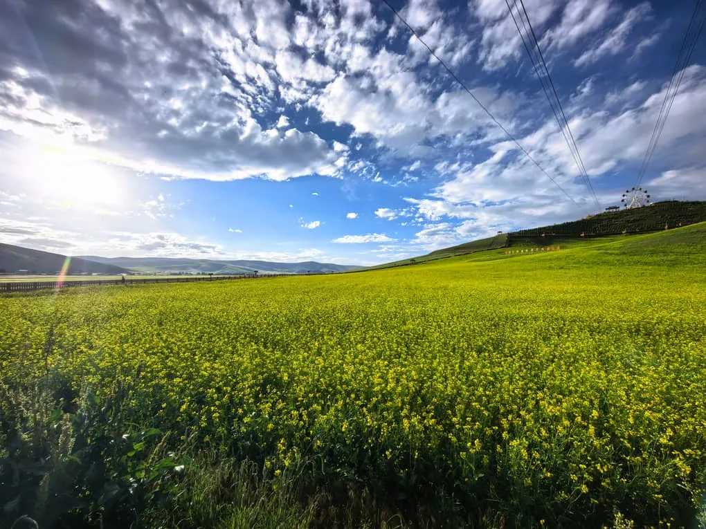
- Dramatic Color Contrasts: In July and August, the highway cuts through golden oceans of blooming canola flowers, deep green pine valleys, and snow-dusted peaks.
- Quiet Detour: While tour buses crowd the main commercial overlooks of Biandukou, Route 9 offers wide horizons with significantly less congestion.
2. The Classic Driving Circuit: Zhangye to Erbao & Beyond
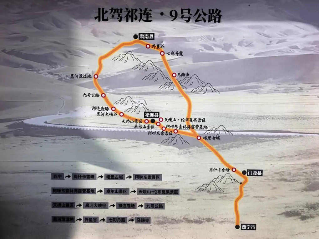
Route 9 forms a core scenic artery linking the Hexi Corridor in Gansu to the northern high plateaus of Qinghai.
Suggested Overland Route Flow:
-
Departure from Zhangye City (Morning): Head south along Highway G227 toward Minle County (approx. 1.5 hours).
-
Biandukou Scenic Area (Late Morning): Drive through the historic mountain pass where ancient Silk Road merchants entered the Hexi Corridor. Stop for photos among the high-altitude rapeseed flower fields.
-
The “Figure 9” Road Loop (Midday): Ascend the switchbacks of Route 9. Pull over at designated laybys to capture aerial drone footage and landscape photography.
-
Jingyangling Mountain Pass (3,767m): Cross the high mountain pass into Qinghai Province, enjoying panoramic views of prayer flags and alpine tundra.
-
Erbao Ancient Town (Afternoon): Stop at this historic frontier outpost to enjoy fresh plateau yak yogurt (Yàoniúnǎi) and traditional hand-carved mutton (Shǒuzhuā Yángròu).
-
[Zhangye City] ➔ Biandukou Pass ➔ Route 9 Loop ➔ Jingyangling Pass (3,767m) ➔ [Erbao Town]
-
3. Drone Photography & Road Safety Essentials
- Drone Regulations & Winds: High-altitude gusts can be strong across the mountain ridges. Use a heavy drone (such as DJI Mavic 3 or Air series) and keep an eye on battery depletion caused by cold air.
- Parking Etiquette: The mountain road features sharp blind curves. Never stop inside a curve or on a narrow shoulder. Use paved laybys and marked lookout platforms to set up tripods.
- Altitude Preparedness: Elevations along the route range from 2,800 to 3,767 meters (9,180 – 12,350 ft). Dress in windproof layers and carry plenty of drinking water to prevent mild altitude fatigue.
Route 9 Driving Metrics
| Metric | Details |
|---|---|
| Location | Minle County, Gansu (Bordering Qilian County, Qinghai) |
| Best Travel Window | July to September (Peak canola bloom and lush green pastures) |
| Road Type | Paved mountain asphalt (Accessible by standard cars and SUVs) |
| Driving Distance | ~110 km from Zhangye City to Erbao Town (approx. 2.5 to 3 hours) |
Drive the Qilian Sky Roads with Alex
Traversing high-altitude mountain passes between Gansu and Qinghai requires reliable vehicles, route planning, and careful timing for aerial photography.
We make exploring the Silk Road’s hidden highways completely seamless.
When you book a private Gansu-to-Qinghai overland crossing with us:
- Comfortable High-Clearance SUVs: Modern, heated vehicles piloted by mountain drivers experienced in navigating Qilian alpine weather.
- Aerial Photography Assistance: We know the safest pull-outs along Route 9 for launching drones and capturing wide-angle road trip footage.
- Flexible Route Extensions: We seamlessly connect your Route 9 drive into full itineraries covering Zhuo’er Mountain, Menyuan Canola Fields, and Qinghai Lake.
Check out our 7-Day Silk Road Itinerary Guide to see how this drive integrates into your holiday, or click Contact Me at the top of the page to plan your custom Northwest road trip today!